 MAX
 Telegram
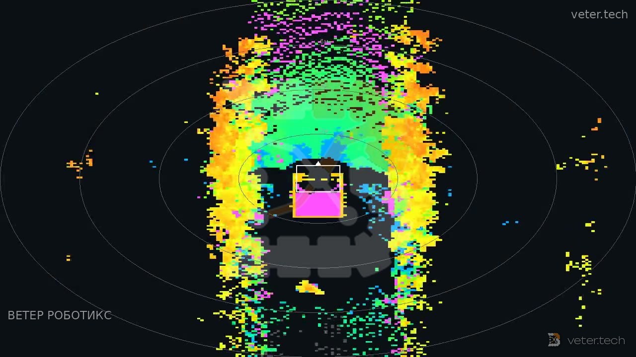
What a ground robot's navigation sees when its localization goes off track
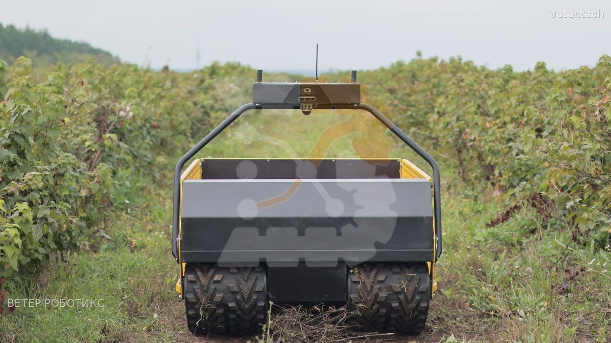
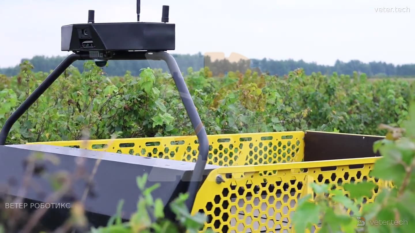
Experience, the son of hard mistakes A robot moves through an orchard slower than a person walks, and its navigation suddenly reports that it's racing along at 180 km/h. That's how the onboard DLIO localization system behaved on the VETER TEGU. A localization system calculates the machine's position from sensor data. DLIO works as a satellite-free onboard navigation system: the lidar scans the surroundings with a laser, a motion sensor picks up turns and jolts, and the software compares each new scan with the previous one to work out how far the robot has moved. If that comparison goes wrong even once, the error carries forward. FAST-LIO2 solves the same problem with the same set of sensors. What the machine saw. In the field recordings, with DLIO running live, the speed it reported would jump after a few minutes of driving - from a slow crawl to noticeably faster in a single step - and then within a few seconds climb to 180 km/h. The position drifted along with this imaginary speed, and the recorded route ballooned into tens of kilometers. How the cause was found. VETER ROBOTICS engineers replayed the same field-day recording on the onboard hardware through a different system, FAST-LIO2. The route measured by RTK satellite positioning was 332.4 m. FAST-LIO2 disagreed with it by only a few percent, while DLIO came up with 20,653 m. Same input data, different result. So the cause had to be in the position calculation itself. A caveat: this was a replayed recording. FAST-LIO2 was not driving the machine. These tests took place back in May. DLIO is only one of the localization loops in VETER ROBOTICS robots, and this analysis concerns it alone. At VETER ROBOTICS the systems are constantly being improved, and every update is run on test benches first.